The World's Most Interesting International Border Junctions: Where Countries Come Together
Have you ever wondered what happens when three or even four countries meet near the same place? On a world map, we can see countries separated by lines, but some of these lines meet in surprisingly interesting ways. There are places where three countries share a common border point, while other regions have several national boundaries located very close to one another.
These locations are fascinating because they show how geography, history, and politics shape the world around us. Some border junctions are found in mountains, some are located near rivers, and others lie in remote areas far away from major cities.
One interesting thing about these places is that countries do not always meet in the way we might imagine. Four countries may be very close to one another without all four sharing the exact same point. Understanding this difference makes international geography even more interesting.
In this article, we will explore some of the world's most interesting international border junctions, learn what makes them special, and discover why these locations matter.
1. What Is an International Border Junction?
An international border junction is a place where two or more international boundaries meet or come very close together.
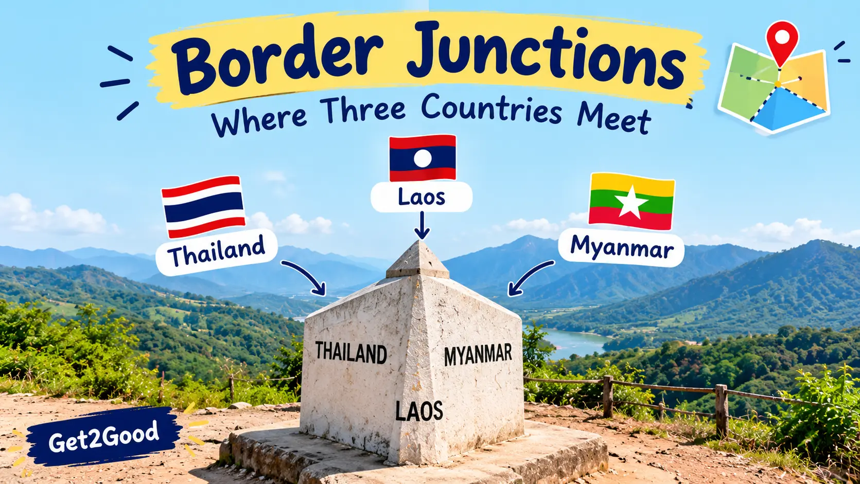
The simplest example is a point where the borders of three countries meet. Such a location is usually called a tripoint or trijunction.
These places can be found on land, in rivers, or in lakes. Their exact positions depend on the legal boundaries agreed upon by the countries involved.
On maps, border junctions often look like small points where several lines connect. However, visiting one in real life can be more complicated than looking at it on a map. Some are located near towns and roads, while others are found in forests, mountains, or remote wilderness.
It is also important to distinguish between a true border junction and a region where several countries are simply close to one another. The difference may look small on a map, but it matters when describing international geography accurately.
2. What Is a Tripoint?
A tripoint is a geographical location where the boundaries of three countries meet at a common point.
Imagine three countries represented by three different colours on a map. If all three boundaries meet at exactly the same location, that location is a tripoint.
Tripoints are interesting because they show how political boundaries connect different territories. Some are marked with monuments or boundary stones, while others are located in natural landscapes.
For example, the meeting point of Argentina, Brazil, and Paraguay is a well-known South American border junction. Visitors can explore viewpoints near the meeting of these countries and see the surrounding rivers and landscapes.
Tripoints can also have historical importance. Their locations may reflect agreements between governments, changes in national boundaries, or decisions made long before modern maps and satellite technology existed.
Although three-country junctions are relatively easy to explain, places where four countries appear to meet can be more complicated. Sometimes the countries share separate nearby boundaries rather than one common four-country point.
3. The Botswana–Namibia–Zambia–Zimbabwe Border Region
One of the most interesting border regions in southern Africa is the area around the meeting of Botswana, Namibia, Zambia, and Zimbabwe.
This region is close to the famous Victoria Falls area and the town of Kazungula, where the Zambezi River forms part of the surrounding international geography.
At first glance, a map may make it appear that all four countries meet at a single point. However, the precise arrangement of their boundaries is more complicated, and the countries do not all share one universally recognised four-country border point.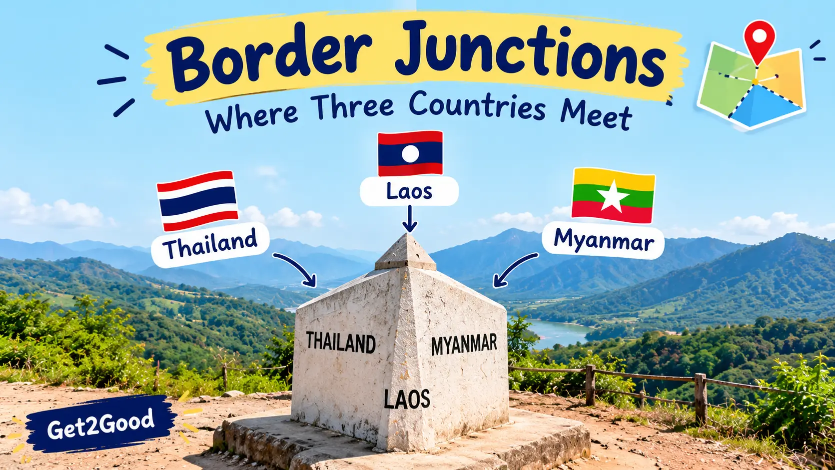
The Botswana–Zambia boundary is extremely short and is associated with the Kazungula area. The surrounding region also includes the borders of Namibia and Zimbabwe, making it an interesting example of several national boundaries lying very close together.
Why is this region interesting?
The area is important for transportation and trade. The Kazungula Bridge connects Botswana and Zambia across the Zambezi River, making it easier for vehicles and goods to travel through the region.
The bridge also demonstrates why border geography matters in everyday life. A location near several countries can become an important transport route, especially when it connects roads used for international trade.
The nearby Victoria Falls region is another reason the area attracts attention. It is known for its natural beauty and tourism, while the wider region supports cross-border travel and economic activity.
This is a useful example of why we should carefully distinguish between a true four-country junction and a place where several international boundaries are located close together.
4. The Argentina–Brazil–Paraguay Border Junction
South America has one of the best-known examples of a three-country border junction: the meeting area of Argentina, Brazil, and Paraguay.
The region is associated with the meeting of the Paraná and Iguazú rivers. These waterways help define the surrounding geography and create a natural landmark near the borders of all three countries.
Each country has a town near the junction. Puerto Iguazú is in Argentina, Foz do Iguaçu is in Brazil, and Ciudad del Este is in Paraguay.
These cities are connected through bridges and transport routes, making the region important for tourism, shopping, and cross-border trade.
What makes this place special?
The three countries have different national identities, currencies, and laws, yet they are connected through a relatively small geographical area.
Visitors can explore viewpoints from which they can see the surrounding rivers and the territories of neighbouring countries. The region is also close to Iguazú Falls, one of the world's most famous waterfall systems.
However, seeing another country across a river does not automatically mean that a visitor can enter it. Travelers must still follow the relevant border-crossing rules.
This South American junction is a great example of how international boundaries can exist alongside strong connections between nearby communities.
5. The Austria–Germany–Switzerland Border Region
Central Europe contains several interesting places where international boundaries meet or come close together. The region around Lake Constance, shared by Germany, Austria, and Switzerland, is one example of a location where the geography of neighbouring countries becomes particularly interesting.
Lake Constance lies near the northern edge of the Alps. Its surrounding region includes towns, transport routes, and communities connected by tourism and trade.
However, the legal status and exact delimitation of parts of the lake's waters have historically been treated differently by the neighbouring countries. Therefore, it is better to describe the area as a fascinating border region rather than assume that every nearby location is a simple, clearly marked three-country point.
Why is Lake Constance important?
The lake is an important source of freshwater and supports tourism, transport, and local economic activity.
People visit the region to enjoy its scenery, explore lakeside towns, and travel between nearby European destinations.
The area also shows that international boundaries can become complicated when they pass through shared lakes rather than across clearly divided land.
Unlike a boundary marked by a fence across a field, a border on a lake may not be visible to someone looking across the water. Its legal position can depend on agreements and interpretations between the countries involved.
6. The India–Nepal–China Border Region
The Himalayan region contains some of the world's most challenging international boundaries. India, Nepal, and China are neighbouring countries whose territories meet in the high mountains.
The region is especially interesting because its geography includes towering peaks, glaciers, valleys, and remote settlements.
The exact border arrangements are shaped by international agreements and, in some areas, by disagreements over territorial claims. For this reason, it is important not to treat every point shown on a general-purpose map as an undisputed boundary location.
Why are Himalayan borders difficult?
First, the terrain is extremely challenging. High mountains and deep valleys can make surveying and reaching particular locations difficult.
Second, severe weather conditions can limit access for much of the year. Snow, ice, landslides, and low temperatures can create serious travel risks.
Third, the region has strategic importance for the neighbouring countries. Border management can involve military, diplomatic, and security considerations.
The Himalayas are a reminder that international borders are not always easy to identify or access. In remote mountainous regions, understanding a boundary may require detailed geographical information rather than simply looking at a world map.
7. Why Are Some Border Junctions Difficult to Reach?
Not every international border junction is easy for tourists to visit.
Some are located in remote forests, deserts, or mountain ranges where roads and public transport are limited. Others may lie inside protected natural areas or places where special permission is required.
Weather can also make a big difference. A border junction in a warm lowland region may be accessible for much of the year, while one in a high mountain range may be difficult or dangerous to reach.
There may also be security restrictions. Some international boundaries are heavily controlled because of political disagreements or sensitive military locations.
For these reasons, people interested in visiting border junctions should check official travel information before planning a trip. A point that looks easy to reach on a digital map may require a long journey or may not be accessible to visitors at all.
8. How Are International Border Junctions Marked?
Countries use different methods to identify and mark their international boundaries.
On land, a border may be marked with boundary stones, metal posts, signs, or other physical markers. These markers help identify the location of a boundary that has been surveyed and agreed upon.
In rivers and lakes, the situation can be more complicated. The boundary may follow a particular channel, a line through the water, or another definition established through agreements.
Modern surveying technology can help governments determine precise geographical positions. Satellite positioning systems, aerial imagery, and detailed maps are useful tools for recording and monitoring boundaries.
However, technology does not independently decide where an international border legally belongs. The legal status of a boundary depends on the relevant treaties, agreements, laws, and, where applicable, dispute-resolution processes.
This distinction is important because a map is a representation of geographical information, while an international boundary is also a legal and political arrangement.
9. Why Are Border Junctions Important?
International border junctions are important for several reasons.
They help us understand geography
Border junctions show how countries are arranged around the world. They also demonstrate how rivers, mountains, lakes, and other natural features influence the way territories are divided.
They can support trade and transport
Some border regions become important routes for international transport. Bridges, roads, railways, and customs facilities can connect neighbouring countries and support the movement of goods.
They can attract tourists
Certain border junctions have become popular attractions because visitors find it interesting to stand near the meeting point of different countries.
Tourism can support hotels, restaurants, transport services, and local businesses.
They can require international cooperation
Neighbouring countries may need to cooperate on transport, environmental protection, river management, and security.
When a boundary passes through a river or another shared natural feature, cooperation can be particularly important because activities in one country may affect the neighbouring country.
Border junctions may occupy a small space on a world map, but they can have a much wider impact on the surrounding region.
10. Interesting Facts About International Borders
Here are some additional facts about international border junctions.
1. A tripoint involves three countries.
The term describes a location where three national boundaries meet at a common point.
2. Not every nearby group of countries forms a four-country junction.
Several countries may have borders close together without all sharing one exact point.
3. Rivers can help define international boundaries.
Some borders follow rivers, although the precise legal arrangement depends on the relevant agreements.
4. Border markers are not always large monuments.
A boundary may be identified by a small post, a stone, a sign, or a surveyed coordinate.
5. Some border regions are important trade routes.
Roads and bridges near international junctions can connect neighbouring economies.
6. Mountains can make border surveying difficult.
Remote terrain and harsh weather can complicate access and the identification of boundary markers.
7. A border junction does not mean people can freely cross between all countries.
Each country has its own entry rules, and travelers must follow the applicable requirements.
International border junctions are among the most interesting features of world geography. They show how several countries can meet at one point or occupy areas located very close to one another.
The Argentina–Brazil–Paraguay junction is a well-known example of three countries connected by a river landscape. The Botswana–Namibia–Zambia–Zimbabwe region shows why it is important to distinguish a nearby group of borders from a true four-country junction. Meanwhile, the Lake Constance region and the Himalayan borderlands demonstrate how natural geography can make international boundaries more complicated.
Learning about these places helps us understand that country borders are not simply lines drawn on maps. They are shaped by history, geography, international agreements, and the relationships between neighbouring nations.
The next time you look at a world map, try to find a place where three countries meet. You may discover that one small point can tell a much bigger story about the world.